
Trace a Harrisburg Street by Address
For a modern Harrisburg street address, the first goal is to identify the parcel, not to guess at a household. Dauphin County’s assessment record supplies the current owner, tax mailing address, property or situs address, assessment details, physical features, and a Property ID or UPI. The UPI, short for Uniform Parcel Identifier, is the durable key that carries the search from the current parcel account into a recorded deed. A listed tax mailing address can be a post-office box, trust contact, attorney, business, or another location. It is an account address, not a finding that every person there lives at the parcel.
- Search the address in Dauphin Property Tax Inquiry. When the parcel number is unknown, use the bare house number and street name the county requests, then save the exact situs form and UPI.
- Open the parcel in the Dauphin County GIS viewer. Use its map context to check the street segment and the adjoining parcel polygons.
- Use the UPI, deed reference, owner name, instrument number, book/page, or date in Recorder Acclaim to locate the recorded transfer.
- Read the document’s parties, recording date, legal description, and earlier reference. For an older household, then look for a dated address listing in the Historical Society collection.
- For City project history, ask the Bureau of Codes or submit a narrow address-and-date request through the City’s RTKL process. The statewide voter self-status tool does not browse a Harrisburg street.
That order keeps a Harrisburg address search honest. It starts with a current county account, follows a property record when needed, and uses a dated source for a claim about an occupant in a particular year.
Search Harrisburg Streets in Property Tax Inquiry
The county’s property form is unusually flexible for a Harrisburg street search. It accepts a parcel number with or without dashes, an owner name as shown on the tax bill, a low and high house-number range, and a street name. It also offers sale price and sale date ranges, municipality and neighborhood selections, year-built and square-footage ranges, building type, and property class. A long address string can work against the search: county guidance says to enter only house number and street name, without a directional prefix or a street suffix, when the parcel number is not known.
The Dauphin County Tax Assessment and Tax Claim office page leads back to the county’s property channels. After the online result, public assessment records may also be inspected at the Tax Assessment office. That counter channel is useful when a result needs clarification or when the property card is the needed source.
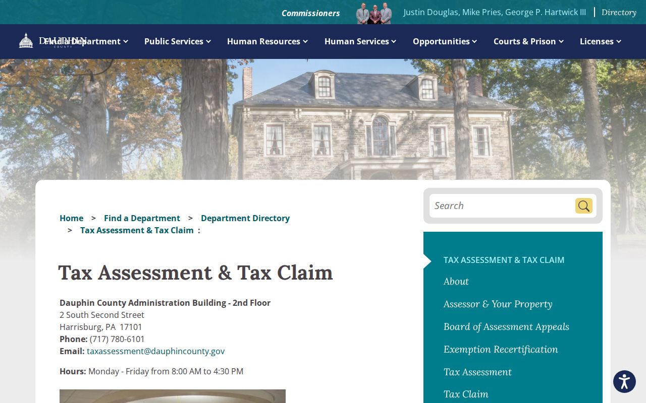
The assessment result is a strong current parcel lead. It does not create a full Harrisburg resident list or prove a past household.
Note: Preserve the portal’s successful bare-street query beside the address as printed in deeds and older books, because those forms can differ.
Harrisburg Street Search Fields to Use
Use one or two well-supported fields before broadening a Harrisburg address search. Parcel number is the most direct option when it is known. The low and high house-number fields help frame a stretch of a street, while owner, sale, municipality, neighborhood, construction, and size fields can narrow a result without turning a street name into an all-purpose household search.
| County field | Input type | Needed? | Harrisburg search use |
|---|---|---|---|
| Parcel Number | Text | No, one criterion is required | Best direct parcel search; dashes are optional. |
| Owner Name | Text | No | Enter the last name as printed on the tax bill. |
| House Number Low / High | Text or numeric | No | Creates a lower and upper address range. |
| Street Name | Text | No | Use house number plus bare street name, without direction or suffix. |
| Sale Price / Date | Numeric and date pairs | No | Filters transfer-era candidates; dates use MM/DD/YYYY. |
| Municipality / Neighborhood | Dropdowns | No | Advanced geography controls for a focused Harrisburg result. |
| Year Built / Square Footage | Numeric pairs | No | Advanced property-characteristic filters. |
Harrisburg street records should retain both the search term and the returned property address. That small habit makes it easier to explain why an old directory spelling, a modern tax-card form, and a deed’s legal description are related.
Use the Harrisburg UPI as the Bridge
The UPI links the current Harrisburg assessment account to county recorded-document research. Once the parcel’s UPI is captured, Acclaim can be searched by UPI as well as name, instrument number, document type, book/page, record date, consideration, municipality/comments, and historic Alpha Index. The deed itself can carry grantor and grantee names, a recording date, legal description, consideration where shown, and a previous document reference. Those details are more durable than a street number alone.
- Parcel
- A county-defined property unit used for assessment and mapping. Its mapped shape is useful context, but it is not a legal boundary survey.
- Situs address
- The physical location of the parcel. It differs from the tax mailing address, which belongs to the assessment account holder.
- UPI
- The Uniform Parcel Identifier, the county property ID that connects assessment, GIS, and recorded-document work.
- Plat
- A recorded map or plan of lots and streets. When an old number is uncertain, its lot and subdivision context can help test the match.
- Criss-cross directory
- A directory’s street-number arrangement, where a volume actually includes one, used to start from an address rather than a surname.
For a Harrisburg address question about a recorded transfer, record the UPI before moving from the assessment system. The UPI and legal description help hold the parcel steady when owner names repeat or street forms change.
Follow Harrisburg Street Deeds in Acclaim
The Dauphin County Recorder of Deeds maintains the official recorded-document channel at 101 Market Street, Room 102, Harrisburg. Its public Acclaim system states that deeds and miscellaneous documents run from 1785 to the present, while mortgages run from 1979 to the present. An address researcher can start with UPI or a known reference, then use the grantor, grantee, legal description, and prior book/page or instrument reference to work back through the property trail. The historic Alpha Index is also a useful route when a historical name or book/page is known.
The Recorder’s coverage page illustrates the office that keeps the official record. The online index is a public service, but the Recorder says official records remain with the office, and it directs detailed questions to the office or a qualified title professional.
Recorder coverage makes a long Harrisburg street trail possible, yet each document still needs to be read in its own context.
The Recorder FAQ also explains that deeds and mortgage copies may be printed from the web or obtained in person. It identifies DD214 military-discharge papers as nonpublic, and says recorded documents are electronically imaged, backed up, and microfilmed.
For a question that needs the original document or a clearer historic entry, the Recorder counter remains the appropriate Harrisburg access channel.
Note: A deed names recorded parties and a property interest; it does not by itself establish every person who lived at the address.
Harrisburg Street Records at a Glance
No single address source answers every Harrisburg street question. Pair the record type with the claim being tested. The county account is current and parcel-focused, the GIS viewer supplies spatial context, the Recorder supplies recorded transfers, and dated directory volumes can add a person or business listing for a particular year. City records provide a different, project-focused trail.
| Address record | Local keeper | What it supports | Practical access |
|---|---|---|---|
| Tax assessment account | Dauphin Tax Assessment | Current owner, tax mailing and situs address, UPI, assessment, features | Property Inquiry or public office inspection |
| Parcel map | Dauphin County GIS | Street placement, parcel geometry, adjacent polygons | Public viewer; follow to tax record for current facts |
| Deed or instrument | Dauphin Recorder | Recorded parties, date, legal description, document placement | Acclaim or Recorder counter |
| Street-number directory | Historical Society of Dauphin County | Selected dated person or business listing by address | Some volumes only; HSDC library and research route |
| Sanborn or historic map | City and Library of Congress sources | Structure, block, street-name and number context | Map edition and sheet must match the era |
| Permit or code file | Harrisburg Bureau of Codes | Address-specific project, inspection, plan, or review evidence | Counter, forms, or a targeted RTKL request |
Use the resulting record as a dated piece of evidence. A Harrisburg parcel map is graphical rather than a title or survey determination, and an assessment account is not a complete resident roster.
Map Parcels Beside a Harrisburg Street
The county GIS viewer provides a map-to-parcel route for a Harrisburg address. Search or zoom to the street, select the target polygon, copy the UPI or property identifier, and use the viewer’s tax-record handoff to return to the assessment account. The viewer also provides parcel attributes, map-extent filtering, an attribute table, export and PDF tools, layer controls, select, draw and measure tools, and current and historic aerial imagery from 2008 through 2022.
That makes GIS useful for checking the physical arrangement of a Harrisburg street segment. It does not settle a legal boundary, current ownership, or personal residence. If an exact edge matters, use the deed’s legal description, a plat, or a survey rather than a screen polygon. If the goal becomes a single recorded party rather than an address chain, use the Harrisburg resident lookup route instead.
Read Harrisburg Streets in Reverse Directories
HSDC’s Harrisburg city-directory collection is the offline and library channel for dated address listings. Its verified runs include individual early years and later bands, with real gaps. The books are alphabetical lists of residents and businesses that usually supply name, address, and occupation. Some volumes add a second arrangement by street number. Check the chosen book itself before assuming that a reverse listing exists, and read its city or town heading because some volumes include nearby Steelton and Middletown.
For earlier household history, the directory shelf is treated in detail in the Harrisburg city directories collection. On a street search, its special value is the address-to-listed-person route, not an assumption that the volume is a complete census.
Check Historic Harrisburg Street Numbers
Do not force an older Harrisburg street number into today’s form. The City’s March 2026 Historic Preservation house-history guide gives a concrete check: the current 107–109 Cumberland appears as 109–111 on the 1890 Sanborn map. The guide points researchers to 1884, 1890, 1905, and 1929 editions and explains that the maps can show a building footprint, materials, roof form, use, outbuildings, and later features. They do not name every resident.
For a claimed rename, ward shift, boundary change, or another numbering question, compare the directory, historic GIS layer, Sanborn sheet, legal description, and parcel context. City Council and ordinance microfilm held through HSDC or the State Archives is the appropriate route for an actual municipal chronology. No verified source supports a single citywide Harrisburg renumbering year.
Note: Keep the modern and historic address forms together with the map year, because matching numbers without matching era can attach the wrong parcel.
Request Harrisburg Address Files Through RTKL
The Harrisburg Bureau of Codes handles permits, required inspections, property-maintenance and code matters, plus related applications and fee schedules. Its forms and counter are direct access channels, but research did not identify a public online permit-history index. For an older file, ask for an exact address, date range, and record type. Separate requests for permits, certificates of occupancy, inspection reports, plans, zoning or HARB decisions, and code files are easier for the City to locate because offices may index them differently.
The City of Harrisburg Right-to-Know form is the targeted fallback for existing records under the Pennsylvania Right-to-Know Law (RTKL), Act 3 of 2008, 65 P.S. §§ 67.101–67.3104. It accepts requests for electronic copies, printed copies, or in-person inspection, and it asks for records rather than questions. The Bureau of Codes is the relevant City office for a permit or inspection trail. A permit applicant or contractor connects to a project, not necessarily to present residence or ownership.
What Harrisburg Street Results Leave Private
A Harrisburg address search cannot identify every person at a parcel. Owner records do not identify every adult child, guest, former household member, utility customer, delivery recipient, or voter. A mapped adjacent parcel and an owner name are not proof that the owner lives next door. Pennsylvania’s voter self-status form is designed for an individual’s registration status, not a browse-by-street public directory. A fuller voter-list request has separate certification and permitted-use rules administered through the appropriate official process.
The Pennsylvania Find Voter Registration Status route is available for its intended self-status purpose. It should not be used to build a street list. Protected addresses, confidential records, and motor-vehicle information also have their own access limits.
The Recorder’s Record Notification Service is a property-alert channel. It can send an email alert for a recording against a property, name, or parcel number, but it does not prevent deed fraud, verify ownership, or prove who resides at a Harrisburg address.
An alert is a prompt to check the official Harrisburg Recorder record, not a substitute for the document trail or a reason to contact another person.