
Harrisburg Neighbors: Sources for One Block
Different records answer different questions about Harrisburg neighbors. The county map can show which parcels sit next to the target parcel. The assessment account identifies the current recorded owner, situs address, tax mailing address, and UPI or Property ID. The Recorder supplies dated transfer evidence. Historic street-number directories may name a listed person or business for a chosen year. Election administration and neighborhood groups have separate legal and practical limits. Read each result as the kind of record it is, not as a statement about every person at an address.
| Source | What It Shows About a Block | Access |
|---|---|---|
| County GIS and assessment | Adjacent parcel polygons, UPI, recorded owner, tax mailing address, and situs address for each parcel | Public map and property account; no household roster |
| Recorder chain | Dated transfers and recorded parties for a particular parcel | Public Acclaim records; occupancy needs separate evidence |
| HSDC street-number directories | Selected historic listed person or business along a street | Specific volumes only; check numbers and street continuity |
| Election administration | Precinct, polling-place, and legally controlled voter-record channels | No general self-service block browse |
| Neighborhood associations | Voluntary civic contacts, event, and history routes | No assumption of membership or private-directory access |
Start with the public systems that describe land. Then stop when the record stops. A parcel is not a household, and a map location is not a boundary survey. The legal description, plat, or survey controls if an exact boundary matters. That distinction protects both the research result and the people who live near it.
Map Harrisburg Neighbors by Adjacent Parcel
Use the Dauphin County GIS Interactive Maps to find the target Harrisburg address or parcel, select that polygon, and pan without changing scale. Identify polygons that share a boundary or sit immediately across the street. The viewer is graphical context. It is not a final ownership decision or a land survey. Copy each neighboring UPI or Property ID and open a separate result in the Dauphin County Property Tax Inquiry.
- Find the target address in the county map and select the parcel.
- Keep the same map scale and record the UPI for each adjoining or directly opposite parcel.
- Open each UPI in Property Tax Inquiry and separately note the recorded owner, situs address, tax mailing address, assessment details, and deed reference.
- Use the UPI in Recorder Acclaim when a dated transfer trail needs to be checked.
- Compare legal description and parcel identity before calling two parcels adjacent where the exact line matters.
This is a process flow, not a shortcut to a list: address to GIS parcel, then UPI, then assessment result, then the Recorder only for a recorded transaction question. The owner field is current assessment data. It is not evidence that the recorded owner is the person now living at the situs address.
Use a Harrisburg Block UPI for Each Record
UPI means the county parcel identifier. It is the durable bridge between a displayed address and a land record. Property Tax Inquiry accepts owner name, parcel number, address, sale, municipality, neighborhood, building, and property-class criteria. For a street search, the county advises a bare house number and street name without a directional or suffix. Once the right assessment account appears, capture the UPI before switching to another system. A street address is a good starting point; the parcel key is better for holding the record trail together.
Recorder Acclaim offers UPI, name, instrument number, book and page, document type, date, consideration, and Alpha Index paths. A deed can show grantor, grantee, recording date, legal description, and cross-reference. Search the UPI first where possible. Then inspect the original document or ask the Recorder about historic index navigation when the parties or legal description do not line up. Dauphin County states deeds and miscellaneous documents reach from 1785 to the present and mortgages from 1979 to the present, but coverage is not proof that every document answers a neighbor question.
Note: Keep one short record for each parcel so a deed reference, tax mailing address, and map polygon are never accidentally combined with another property.
Harrisburg Neighbors: Owner Is Not Resident
The assessment file distinguishes a property address, also called the situs, from a tax mailing address. A tax mailing address can be a post-office box, business, attorney, estate, trust contact, or another place. It must be described as a tax mailing address, not as a residence. The situs is the location of the parcel. Neither field proves every occupant. Other household members, renters, utility customers, delivery recipients, and people using protected address programs may not appear in public land records at all.
Myth: a current owner result tells who all the neighbors are. It does not. The responsible claim is narrower: it identifies the owner shown in the current assessment account for a particular parcel. The record can be useful for estate or property history, civic curiosity, and checking a suspected deed scam. It cannot supply a complete picture of private households.
Harrisburg Neighbors in Historic Street Listings
For an older block, the Historical Society of Dauphin County city directories may provide a street-number arrangement in some volumes. Begin with the exact old address, capture the listed person or business and the entries beside it, then use the alphabetical section to check the name, address, and usually occupation. The HSDC holdings run through selected early years, then 1871-1947, 1949-56, 1958-76, 1979-82, and 1986-99. Real gaps remain between those listed ranges.
Street-number listings are era-specific. Some Harrisburg volumes include Steelton or Middletown, so read the printed scope before calling an entry city-based. Address continuity also needs care. The City’s historic-home guidance gives a documented example where present 107-109 Cumberland appears as 109-111 on the 1890 map. There is no verified universal renumbering year. For a broader named-street process, the Harrisburg by-street directory follows the current parcel chain.
Harrisburg Neighbors and Election Records
Pennsylvania’s Find Voter Registration Status form is a self-status and eligibility tool. It is not a public browse-by-address directory. It should not be used to probe people or assemble a block list. Dauphin County Registration and Elections is the proper office for the current procedure when election records are sought under the applicable disclosure and use rules. The office can explain the request path; it does not turn the individual status form into a neighborhood search.
The official voter-list request materials describe separate public-information, street-list, walking-list, and full-export channels, each with identity, certification, and statutory purpose restrictions. Do not publish or repurpose a list. A lack of a public match also proves little about a past or current neighbor. A person may be unregistered, may have moved or changed information, or may be protected. Precinct results and voter statistics are civic information, not a named household list.
Note: Ask Elections for the current lawful procedure and use limits before requesting a record, since the self-status form is not a block-search tool.
Harrisburg Neighborhood Civic Contacts
Voluntary civic groups add a useful, different layer to Harrisburg neighbors research. They may provide an event, history, newsletter, preservation issue, or public contact route. They are not a way to infer who belongs to a group or to obtain private member details. The research identified the following community and preservation resources, with different current status and public-directory practices. Contact a group directly to verify its public information before relying on a name, meeting, or governance detail.
| Midtown Action Council and Friends of Midtown | Midtown civic and historical context. Midtown’s stated historic bounds are Forster to Verbeke and Front to Third; current governance details need verification. |
|---|---|
| Shipoke Neighborhood Association | Local civic and neighborhood-history resource, not a verified public household list. |
| Bellevue Park Association | Neighborhood civic resource; public contact and participation details vary. |
| Summit Terrace Neighborhood Association | Neighborhood civic resource; do not assume a public roster. |
| South Allison Hill Community Advisory Council | Community advisory route, not a source of private household information. |
| Historic Harrisburg Association | Preservation and historic-place context for block research. |
Midtown’s boundaries are historical orientation, not an ownership or residency line. The same caution applies across Shipoke, Bellevue Park, Summit Terrace, and South Allison Hill. A civic group can help a reader find a voluntary public channel. It cannot convert community membership into a public neighbor record.
Note: A civic contact can support local participation or history research, but it cannot verify that a particular person belongs to a neighborhood group.
Harrisburg Blocks Through Sanborn Maps
Historic map work can test whether a street segment or structure existed in the relevant period. The City’s Researching Your Historic Home: Sanborn Maps guidance links 1884, 1890, 1905, and 1929 editions. It explains that a sheet may show a building footprint, materials, roof form, use, outbuildings, and later features. It does not identify every resident. Use a map with a city directory, deed, or other dated record rather than treating it as an occupancy list.
The 1905 maps expand to Allison Hill, Summit Terrace, Mount Pleasant, and Penbrook, while the 1929 maps cover more of the City. Historic GIS layers and HSDC map holdings can help bridge a number or street-form change. For a claimed street rename, ward change, or boundary event, consult ordinance, Council, or archival material. No complete citywide renumbering chronology was verified.
Privacy Limits for Harrisburg Neighbors
Public availability has clear limits. Pennsylvania’s Address Confidentiality Program supplies a substitute address for eligible survivors, and actual address, application, and waiver data are confidential. The program is administered by the Office of Victim Advocate under 23 Pa.C.S. chapter 67. Driver and vehicle personal information is governed by the federal DPPA, 18 U.S.C. sections 2721-2725. PennDOT is not a Right-to-Know workaround. Courts can redact confidential data, and limited-access cases may not appear in UJS results.
Utility records, private association-member information, delivery information, protected voters, and nonpublic household data do not become a block resource because an address is known. The Pennsylvania Right-to-Know Law, Act 3 of 2008, 65 P.S. sections 67.101-67.3104, allows requests for existing government records, subject to exemptions and redaction. It does not require an office to create a neighborhood list. Repeated unwanted contact, threats, intimidation, or harm are prohibited under Pennsylvania law.
The Pennsylvania Attorney General’s August 2026 warning is the source for this public-safety reminder about imposters posing as local county sheriff offices.
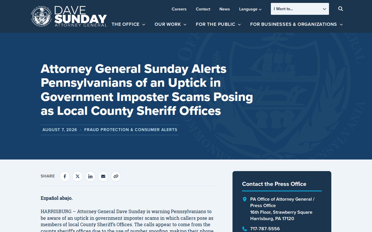
Verify an unexpected court or agency demand through a contact found independently, never through an incoming caller or message.
Harrisburg Neighbor Tools: Official and Commercial
Official records have a defined custodian, stated limits, and a way to correct an error. Commercial neighbor-search categories may combine public and other sources, but their completeness, date, and matching method can be unclear. Neither category creates a lawful substitute for protected or private information. For a property fact, return to the Tax Assessment office or Recorder. For a registration question, return to Elections. For an archival claim, return to HSDC or the relevant library.
| Category | Useful for | Limit |
|---|---|---|
| Official county and City records | Parcel identity, assessment, recorded transfer, map context, and defined request procedures | Each record has scope, date, and privacy limits; none is a household roster |
| Commercial neighbor-search category | A possible starting lead to verify independently | Source, date, identity match, and accuracy may be unclear; do not treat it as proof |
| Voluntary civic channels | Public events, history, and participation routes | Not a membership list or private contact directory |
The Dauphin County Prison February 2026 scam alert is another useful caution against acting on an unexpected demand for payment.
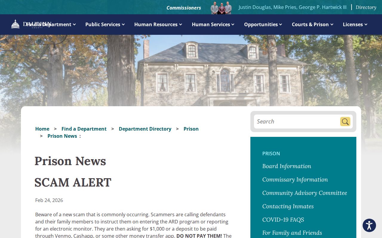
Use independently verified county contacts when a message claims to concern a property, court, or neighbor-related matter.